Showing posts with label Barangaroo. Show all posts

Saturday, 13 August 2016

The city by night

I recently had a day long conference in the middle of Sydney.
The office had a great view of the Bradfield Hwy as it approaches the Harbour Bridge (below).


I decided to walk home around the new Barangaroo work site to get to the Darling Harbour ferry.
The area around Wynyard Station is still a bit of a mess, but pedestrian overpasses are in place and every time I go by, you can see more features.


I'm not quite sure where the new Barangaroo area becomes the location we've always known as Darling Harbour. Maybe the use of these names will change as time goes by?

Wherever the cartography dividing line might be, the Imagine sign marks the end of the construction area and the beginning of the lovely waterside boardwalk around Darling Harbour.


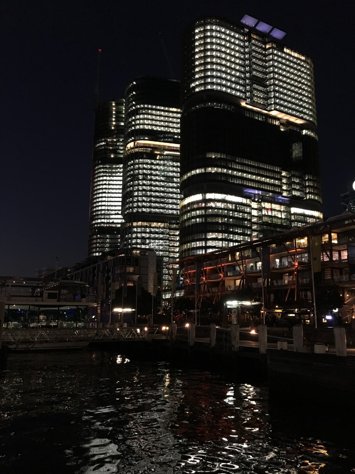
The view from the ferry back along the boardwalk I had just walked down.

Darling Harbour was a working harbour until just after the end of WWII.
The area was full of warehouses, wharves, trains, boats and smog.

Barangaroo used to be called The Hungry Mile during the Depression years as hundreds of out of work men lined up there waiting to get work in one of the warehouses or on one of the boats.
The old pics below are from Wikipedia.

Darling Harbour 1900 looking from Pyrmont across the Pyrmont Bridge into the city.

Darling Harbour & Barangaroo 1950 from the city looking across to East Balmain and Goat Island to the right.


This post is part of Saturday Snapshot

Saturday, 28 November 2015

Another View of Barangaroo

 On a recent walk around my suburb, I captured a few pics of the new Barangaroo development from East Balmain.


Sydney Harbour Bridge to the Anzac Bridge
Panorama around Darling Harbour and Johnstons Bay


Panorama of Darling Harbour and Barangaroo


This post is part of Saturday Snapshot

Saturday, 21 November 2015

Barangaroo Point - Open for Business

Barangaroo Point is a new open space, that according to it's website is

"A spectacular new place for Sydney, this six hectare waterfront headland park includes two coves, a continuous naturalistic sandstone foreshore, 75,000 native plants and an internal cultural space landscaped into the headland."

Panorama of Nawi Cove
Mr Seasons enjoying clambering over the sandstone blocks.
Walking towards Stargazer Lawn
Burrawang Steps
View of the Harbour Bridge from Millers Point
The old control tower is now a feature of the new reserve.
Lots of lovely green space and open views.
Girra Girra Steps looking down to Nawi Cove
Waranara Reserve
The Cutaway
The Cutaway is an exhibition and cultural space.
The existing sandstone wall has been lit up dramatically as well as utilising the natural light.
The first exhibition is by Brook Andrew called, StoneThe Weight of History, the Mark of Time.
The four balloon sculptures are meant to act as a "breathing lung-like imaginative environment".


Sandstone detail
I can't wait to see how this space matures with time.

This post is part of Saturday Snapshot